lavarella
  • it
  • de
  • en
  • Welcome
  • The Hut
    • The history
    • Culinary art
    • Wine & Beer
    • Sauna
    • Picia Capela
    • How to arrive
  • Microbrewery
  • Accommodation
  • Summer
    • Excursions
    • Climbing
    • Mountain bike
  • Winter
    • The nature park
    • Ski touring
    • Snowshoeing
  • Prices
    • Summer
    • Winter
  • Meteo
AVAILABILITY & BOOKING

San Vigilio di Marebbe 39030 - ITALY

lavarella

FURCIA DAI FERS DE FORA I (2534 Altitude)

FURCIA DAI FERS DE FORA

THE ASCENT

Furcia dai Fers and southern ridge

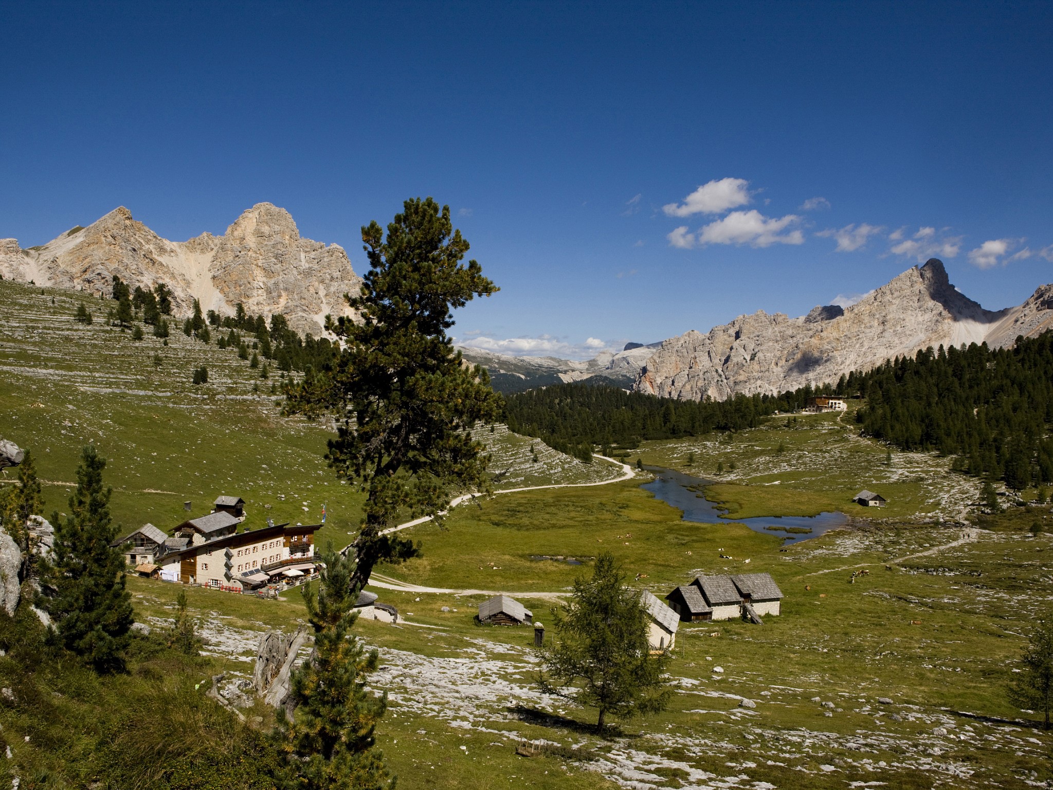
From the Lavarella mountain hut, go down the valley in northern direction, passing by a group of mountain huts by the road, until you reach the snow tongues at the base of Monte Sella di Fanes.

The ascent starts from here using a serpentine itinerary, avoiding the area covered by dwarf mountain pines until reaching the entrance of the narrow gully descending from the Furcia dai Fers. The gully is quite steep, so it is better to do the ascent without skis, keeping the right on the last section, thus reaching the saddle (Furcia dai Fers). Climbing on the right (E) you reach the ridge which connects the two summits (Dont de Fora and Dont da Ete).

Following the ridge in northern direction you briefly reach the peak. The ski depot is right under the summit, by a rock formation.

WALKING TIME

2 - 3 1/2 hours

THE DESCEND

It is not advised to descend on the same itinerary, as it is not very rewarding. It is preferable to descend on the east gully: Le Cù (the funnel). It starts from the maximum ridge depression between the two peaks and flows, after a wide S turn, into the clearing of the Lé (lake) Piciodel.

From the summit, descend on the ascent itinerary until the ridge depression (steep slope), leaving the climb path. Descend in eastern direction on the fairly sloping terrain of the funnel until the incline starts to get more marked. From here keep the right, staying at the feet of the Dont de Furcia dai Fers da Ete, until reaching a wooden crest (quite steep, though wide and uniform). Descend keeping the left, thus avoiding some unpleasant hollows and rocks, towards the above mentioned lake and the trails ascending from Pederü.

TECHNICAL DIFFICULTIES

  • Just like S1; some soft terrain irregularities and hollows. The descent is free
  • The slope is more marked (30° ÷ 35°). It is not always easy to proceed in a straight line; it is necessary to bend more often, the terrain opens giving a certain degree of route choice
  • Terrain very steep, narrow space, sometimes exposed. it is not possible to bend to one's liking, as the bends are imposed by the terrain difficulty and shape

SUGGESTED EQUIPMENT

  • Ski skins

USEFUL SUGGESTIONS

  • Pay attention to the sections with snow blown in by the wind
  • Knowledge about the snow features are necessary
  • Tour for compact snow conditions
  • Possibility of avalanche risk in some sections with unfavourable snow conditions
  • Escursion for fresh snow as well

ALTITUDE DIFFERENCE

546 m

994 m (Pederü)

PRINT ITINERARY

DONT DE FURCIA DAI FERS DE FORA II (2534 Altitude)

DONT DE FURCIA DAI FERS DE FORA

THE ASCENT

Gully “Le Cù” (the funnel) and southern ridge

The ascent follows the descent route of itinerary n. 1. From the Lé Piciodel aim for the entrance of the wide gully between the base of the two peaks of Furcia dai Fers. Then continue on the gully northwards, avoiding the the area with rocks and hollows staying on the left (orographic left). The rest of the climb is quite difficult and tiring, requiring some steep serpentines until reaching a wooden ridge below the cliffs of the Dont de Furcia dai Fers da Ete.

The upper section of the gully is less steep. Proceed keeping the left of the valley until reaching the top corresponding the depression on the ridge between the two peaks of Furcia dai Fers. Proceed on the right (north) on top of the ridge, until reaching the summit. The ski depot is right under the peak by a rock formation.

WALKING TIME

2 - 3 1/2 hours from Lé Piciodel; 3 1/2 - 4 1/2 hours from Pederü

THE DESCEND

On the same route as for the ascent (see description of the descent for itinerary n. 1)

TECHNICAL DIFFICULTIES

  • Just like S1; some soft terrain irregularities and hollows. The descent is free
  • The slope is more marked (30° ÷ 35°). It is not always easy to proceed in a straight line; it is necessary to bend more often, the terrain opens giving a certain degree of route choice
  • Terrain very steep, narrow space, sometimes exposed. it is not possible to bend to one's liking, as the bends are imposed by the terrain difficulty and shape
  • Good skier: he can confidently engage in S3 descends; he can manage descends ot the higher difficulty type as well, as long as they are not continuous or very long

SUGGESTED EQUIPMENT

  • Ski skins

USEFUL SUGGESTIONS

  • Tour for compact snow conditions

ALTITUDE DIFFERENCE

715 m (dal Lé Piciodél)

994 m (da Pederü)

PRINT ITINERARY

DONT DE FURCIA DAI FERS DA ETE III (2489 Altitude)

DONT DE FURCIA DAI FERS DA ETE

THE ASCENT

Northern ridge and NE side.

Less interesting tour than the previous ones, though the peak enables a revealing view over the plateau of Pices Fanes.

The tour starts from the ridge depression between the two peaks of Furcia dai Fers, as seen in itineraries n. 1 and n. 2. From here proceed briefly South on the ridge, slightly keeping the left. Afterwards, turn in the direction of the ledges descending north and climb towards the peak on these (be careful when proceeding on the ledges!). The ski depot is by the last steep ledges. Proceed to the top without skis.

WALKING TIME

2 - 3 hours from the Lavarella mountain hut and from Lé Piciodel

THE DESCEND

The descent is on the same trail as for the ascent until the ridge depression between the peaks of Furcia dai Fers. The rest of the descent as in itinerary n. 1 or n. 2.

TECHNICAL DIFFICULTIES

  • Just like S1; some soft terrain irregularities and hollows. The descent is free
  • The slope is more marked (30° ÷ 35°). It is not always easy to proceed in a straight line; it is necessary to bend more often, the terrain opens giving a certain degree of route choice
  • Good skier: he can confidently engage in S3 descends; he can manage descends ot the higher difficulty type as well, as long as they are not continuous or very long

SUGGESTED EQUIPMENT

  • Ski skins

USEFUL SUGGESTIONS

  • Tour for compact snow conditions

ALTITUDE DIFFERENCE

491 m dal Rifugio Lavarella

670 m dal Lé Picciodél

949 m a Pederü

PRINT ITINERARY
  1  2  3  4  Next page    Last page

CONTACTS

0039 0474 501094 rifugio@lavarella.it San Vigilio 39030 - ITALY

Webcam Mountain Hut Lavarella

lavarella webcam

×
accomodation partner
Les Gomines Ciasa Lavarella
institutional partners
San Vigilio Alto Adige Berghutte Rifugi Alpini
  • Contacts - Impressum
  • Privacy
  • Sitemap
VAT id IT02738560214